Welcome to the Kentucky Geography Network

The KyGeoNet is the Geospatial Data Clearinghouse for the Commonwealth of Kentucky. A variety of datasets can be located and downloaded, static map products can be viewed, and many web mapping applications and services are easily accessible. Use the search capabilities of the KyGovMaps Open GIS Data Portal to find GIS services and data resources or connect directly to our Web Mapping Services using your desktop-based or web-based GIS software.
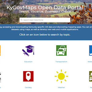
KyGovMaps

The Commonwealth's
Open GIS Data Portal

KyGovMapsOpenGISData

KyStoryMaps

Tour Kentucky with
Interactive Story Maps

KyStoryMaps

KyFromAbove

Ky's Aerial Photography &
Elevation Data Program
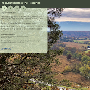
kyfromabove

KyGeoPortal

Use the KyGeoportal to
Download GIS Data

KyGeoPortal

Web Mapping Services


kygisserver

Kentucky's dedicated ArcGIS Server for publicly accessible map services is known as kygisserver.  All services located on this server are offered in Web Mercator - 102100 (3857) so they can be easily leveraged in web mapping applications.
Both dynamic and cached base map services can be found on kygisserver.  Updates to these services are performed on a regular basis.
Use the link to the REST endpoint provided below for a full listing of services and specific service information.
REST Endpoint (https)

kyraster

Kentucky's dedicated ArcGIS Server for publicly accessible image services is known as kyraster.  All services located on this server are offered in Kentucky Single Zone - 102763 (3089) and a subset are also offered in Web Mercator - 102100 (3857).
Both imagery and elevation services are can be found on kyraster.  New services are created as data is made available to DGI.
Use the link to the REST endpoint provided below for a full listing of services and specific service information.
REST Endpoint (https)

Guidance Documents

The links below provide guidance on how to connect to the Commonwealth's ArcGIS Server Services using ArcMap and ArcGIS Pro.
Connecting to Map Services
Connecting to Image Services
Connecting to Services using ArcGIS Pro

Information


Contact Information
Division of Geographic Information
500 Mero Street
Frankfort, KY 40601
502-564-6412
gis.ky.gov
Guidance
Users of the Kentucky Geography Network web site and all associated data resources should carefully read the metadata to determine if a particular published resource is of sufficient accuracy for their particular application. When any question as to currency or degree of accuracy is not adequately answered within the metadata, users are encouraged to contact the contributing agency directly using the contact information provided.
Disclaimer
Neither the Kentucky Geography Network nor its publishers represent or warrant that the information contained on this website is accurate, complete, or current or that that the website will operate without interruption or error. The Kentucky Geography Network further disclaims any and all representations and/or warranties made with respect to this site by any contributing source as to its contents, whether express, implied, or statutory, including, but not limited to, warranties of title, merchantability, and fitness for a particular purpose.

Kentucky.gov
Bookmark and Share